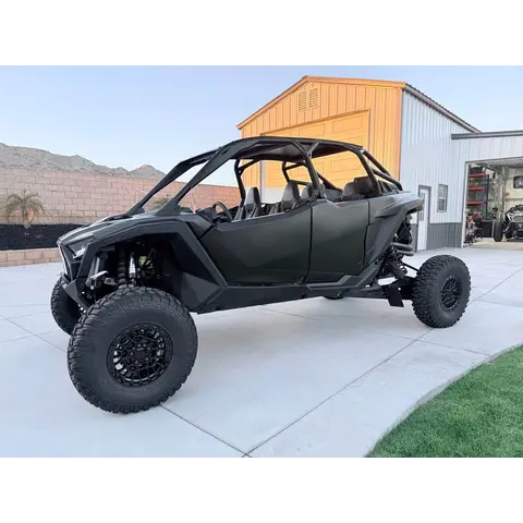
Permit required — There are no fees to ride here but machines must have a current Idaho OHV Registration Sticker; Steck Park is a fee campground.
Ride at your own risk on open public land; terrain changes without warning and hazards are not marked. Scout unfamiliar ground before you commit to it, and tell someone your plan before you go.
Guide
About this area
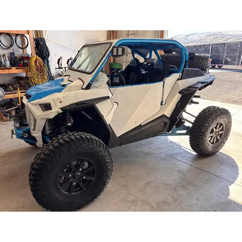
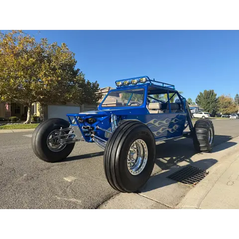
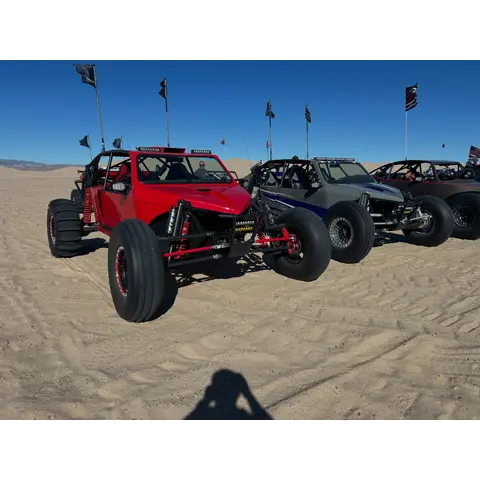
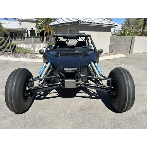
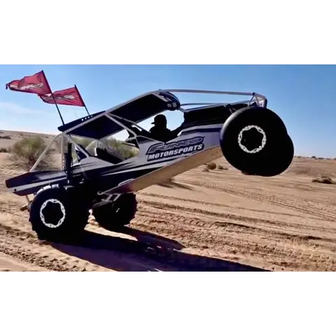
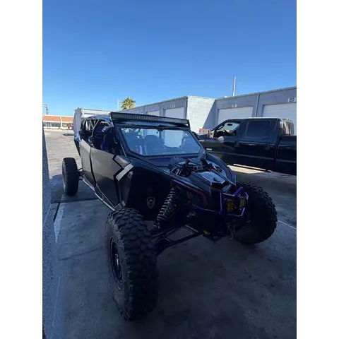
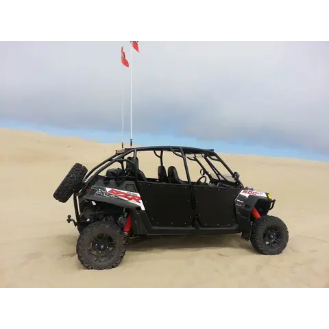
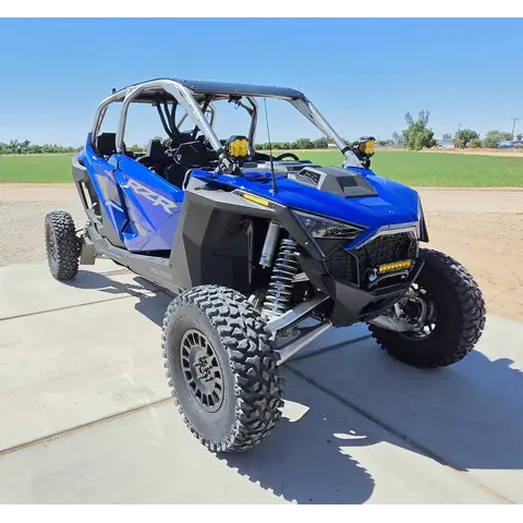
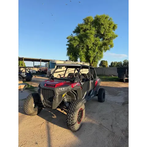
Weiser Dunes is an OHV riding area with 130 acres of sand dunes for motorcycles, OHVs, and dune buggies to explore.
Camping
Camping is allowed but the only facility is a vault toilet. There is no water available or other services.
Facilities
A vault toilet is available.
Full agency description
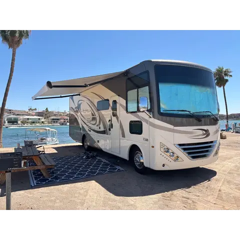
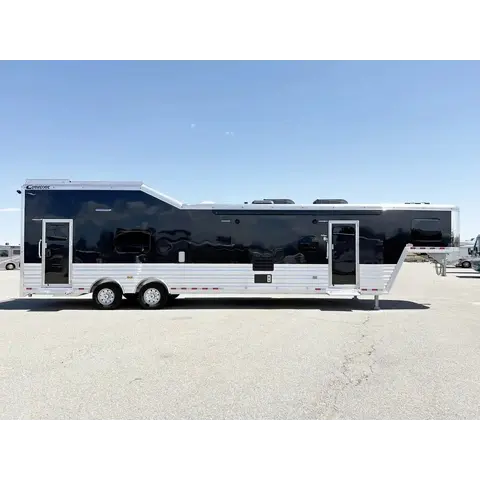
Weiser Dunes is an OHV riding area located adjacent to the Snake River along the Idaho-Oregon border. The 130 acres of sand dunes offer opportunities for motorcycles, OHVs, and dune buggies to explore sand trails, hill climbs, and open areas. The main parking area is large enough to accommodate large trailers and campers. There are no fees to ride here but machines must have a current Idaho OHV Registration Sticker. Camping is allowed but the only facility is a vault toilet. There is no water available or other services. Developed camping is available 7 miles further down Olds Ferry Road at Steck Park. The campground is located on Brownlee Reservoir and offers shaded campsites, potable water, an RV dump station, and two boat ramps. Steck Park is a fee campground.
Access
Getting there
Olds Ferry Road — 8 miles past the end of the pavementEntrance
From Weiser head WEST out of town on Olds Ferry Road. It starts as paved county road and turns to GRAVEL about 5 miles west of town. The dunes are 8 MILES PAST THE END OF THE PAVEMENT on Olds Ferry Road.
⚠️ Idaho non-resident sticker is required and there is no reciprocity; Idaho ended reciprocity in 2020. Buy the non-resident OHV sticker before you ride.
🪖 Idaho requires a DOT-approved helmet for riders under 18.
⚠️ Idaho requires a muffler and a USFS approved spark arrester.
🗺️ No signal? Download free georeferenced Pdf maps from BLM before you leave tarmac: www.blm.gov.
Permit and registration rules change; confirm current requirements with the managing agency before you ride.
Trip support
Fuel, food & local help
Local fuel notes (5)
Nearest towns with services, per the managing agency:
Ontario — about 20 miles
Boise — about 75 miles
��️ Fill your tanks and cans before you turn off the highway.
Backcountry stations keep short hours and some close seasonally.
Pump gas & diesel
Weiser, ID — the last townfuel
13 MILES EAST · Fill in Weiser. Once the pavement ends there is nothing for the last 8 miles. Weiser is about 75 miles northwest of Boise and 20 miles north of Ontario, Oregon on ID-95.More
13 MILES EAST · Fill in Weiser. Once the pavement ends there is nothing for the last 8 miles. Weiser is about 75 miles northwest of Boise and 20 miles north of Ontario, Oregon on ID-95.
Area information is informational only and may be inaccurate or out of date. Verify access, weather, closures, permits and hazards before and during any trip. See Terms.
Your privacy
We use essential cookies to run the site and, with your consent, analytics cookies to improve it. See our Privacy Policy.