🔴 RED STICKER LOCKOUT. California Red Sticker vehicles are only allowed here from 1 September to 31 May. Turning up in June, July or August with a red sticker machine means you cannot ride.
Permit status not confirmed. Check with the managing agency.
Dry, hot and dusty with no shade anywhere. Open Mojave, and the only water is what you bring.
Guide
About this area
• 53,000 acres, about 100 miles of trail • Mojave Desert between Barstow and Victorville, directly off I-15 • Hard-packed trail, sandy washes, rugged rocky hill climbs and dry flat valleys • Beginner through expert, but mostly intermediate • Creosote scrub and the occasional Joshua tree — rocky and dusty • Takes…
Camping
Camping is allowed anywhere within the riding area that does not block travel on a road, but is limited to a maximum of a 14 day stay.
Facilities
• Graveled staging areas at the main Hodge Road entrance, with plenty of room to set up camp
• Vault toilet near the rock quarry — that is the only facility on site
• 🔴 No water, no power, no services anywhere in the area
• Within 5–20 miles: gasoline, DIESEL, potable water and RV hook-ups at Shady Oasis Kampground
• Slash X Ranch Cafe sits at the second entrance on Barstow Road
• Campsites and information kiosks are marked on the BLM WEMO map — download it before you go, there is no signal to fetch it out there
Full agency description
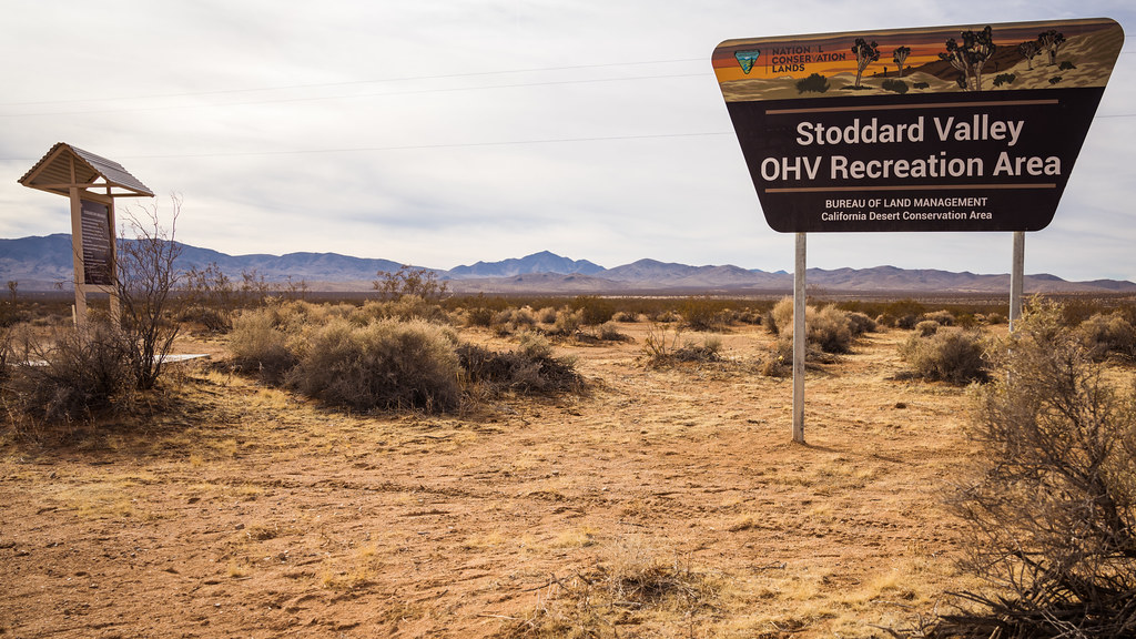
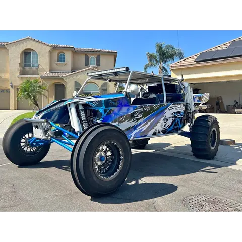
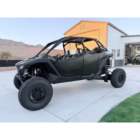
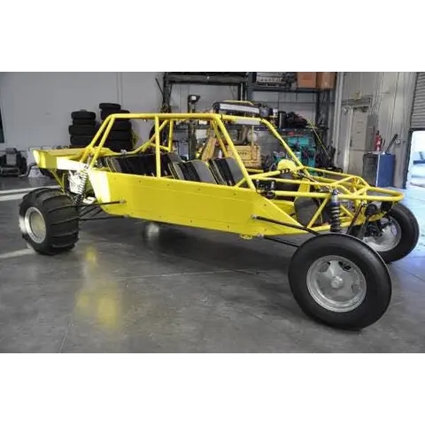
Stoddard Valley is 53,000 acres and roughly 100 miles of trail in the Mojave between Barstow and Victorville, straight off I-15 — which is what makes it one of the easiest big riding areas in California to get to. The ground is hard-packed trail, sandy washes, rocky hill climbs and open flat valley, running beginner to expert but sitting mostly at intermediate. It takes everything from dirt bikes to unregistered sand rails, camping is anywhere you like, and there is a vault toilet by the rock quarry and essentially nothing else. If you run a red sticker machine, check the calendar before you load: they are only allowed here from 1 September to 31 May.
At a glance
Quick facts
Best season
Open year-round. 🔴 California RED STICKER vehicles are only permitted 1 September to 31 May.
Camping limit
Primitive camping, camp anywhere, 14-day maximum stay. No services — pack it in and pack it out, there is no trash collection.
Managing agency
Bureau of Land Management
Access
Getting there
Hodge Road — main entranceEntrance
I-15 Exit 169, turn right (east) onto Hodge Road and continue about a quarter mile. Graveled staging with room for rigs.
Barstow Road — behind Slash X Ranch CafeEntrance
Second entrance, behind the Slash X Ranch Cafe on Barstow Road (Highway 247).
Show all 6 entry points
North lobe — off I-15 near BarstowEntrance
Stoddard Valley runs as two connected lobes. The northern lobe sits closer to Barstow between I-15 and Barstow Road; the main body is further south off Hodge Road. Check the WEMO map for which routes connect them.
➡️ EASTERN — Outlet Center Drive exit / Sidewinder RoadEntrance
Most visitors come in from the eastern side off Interstate 15. Take the OUTLET CENTER DRIVE exit onto Sidewinder Road. ⚠️ All entrances are DIRT ROADS.
⬅️ WESTERN — Stoddard Wells Road or behind the Slash-X CafeEntrance
Take California Highway 247 (the BARSTOW ROAD exit from I-15) and go SOUTH 10 miles. Turn either onto Stoddard Wells Road, or onto the access road behind the SLASH-X CAFE — the cafe is the landmark to aim for. ⚠️ All entrances are dirt roads.
Routes are designated by vehicle class — street legal, ATV/UTV, motorcycle and competitive are separate designations
Carry the BLM WEMO map; the open-area boundary differs from the BLM land boundary and DoD, state and private parcels adjoin
🔑 READ THE WEMO MAP BEFORE YOU RIDE — BLM DESIGNATES ROUTES BY VEHICLE CLASS, AND THEY ARE NOT INTERCHANGEABLE:
Show all 15 area-specific rules
Motorized, STREET LEGAL — plated vehicles only
Motorized, ATV / UTV
Motorized, MOTORCYCLE
Motorized, Competitive
Motorized, Authorized / Permitted
Motorized, No Designation Given
Non-mechanized, hiking
⚠️ A route open to a dirt bike is not automatically open to a side-by-side. Check the class before you turn onto it.
The Stoddard Valley open area itself is marked OPEN — motorized travel permitted YEAR-LONG
California OHMVR sticker required — Green, Red or a non-resident permit
🔴 COURT-ORDERED ROUTE CLOSURES ACROSS THE WEST MOJAVE — IN FORCE SINCE 24 MARCH 2026, UNTIL FURTHER NOTICE. A federal court order requires the BLM to close ALL ROUTES in desert tortoise and Lane Mountain milk-vetch CRITICAL HABITAT to off-highway vehicle recreation throughout the West Mojave planning area — roughly 2,200 miles of route. ✅ THE OPEN RIDING AREA ITSELF IS STILL OPEN. What is closed are designated routes through critical habitat, including connectors and trails you may have ridden in previous years. Designated county roads and highways stay open for access, but NOT for public OHV recreational use. ⚠️ IF YOU ARE PLANNING TO RIDE ANYTHING OUTSIDE THE OPEN AREA BOUNDARY, check the current route map with the field office first — the maps in older guidebooks and apps are out of date.
Standard OHV rules (17)
Common equipment, registration and trail-use rules still apply.
⭐ RIDE TO THE HIGHEST SAFETY STANDARD, NOT THE LEGAL MINIMUM. What is written below is what the managing agency requires. A helmet, eye protection, a flag and proper gear are what get you home — wear them whether or not the law where you are riding insists on it.
California OHMVR stickers required — Green Sticker, Red Sticker or a non-resident permit
🔴 Red Sticker vehicles are only permitted 1 September to 31 May
Spark arrestor required; 96 dB noise limit for 1986-and-newer vehicles
Camping limited to 14 days · pack it in, pack it out
🔴 RED STICKER vehicles only from 1 September to 31 May
Spark arrestor required · 96 dB noise limit for 1986-and-newer machines
Camping 14 days maximum · pack it in, pack it out
🪖 Side-by-side / UTV (factory-built, steering wheel, bucket seats, under 1,000cc, does over 30 mph): helmets on the driver and every passenger, and seat belts or a harness fastened whenever it is moving. That is California law on public land.
🪖 Sand car, sand rail, dune buggy, Jeep, or anything home-built or over 1,000cc: no helmet or seat-belt law applies. Wear them anyway — State Parks recommend it, and so do we.
🪖 Quads and ATVs: helmet on every rider, any age. Dirt bikes: helmet required under 18.
⚠️ Tuned it past 30 mph? A machine built for 30 or under that now goes faster is treated like a side-by-side — helmet and belt rules apply.
👶 A child seat does not replace a helmet. In a side-by-side, a child in a car seat still wears one.
Source: California Vehicle Code §500, §38505, §38601–38602 — checked Aug 2026.
🪖 Any helmet the law requires must meet FMVSS 218 and carry a DOT label — CVC 27802.
📖 CHECK THE LAW YOURSELF — these requirements come from California State Parks OHMVR — Laws & Safety. Rules change, and you are responsible for compliance: ohv.parks.ca.gov
🗺️ NO SIGNAL? TAKE AN OFFLINE MAP. BLM publish free GEOREFERENCED PDF maps that show your live GPS position with no cell service, in the Avenza Maps app or similar. Download the map for this area BEFORE you leave tarmac: www.blm.gov
Permits
Permits & registration
Permit and registration details
• This area is used extensively for competition racing event by permit.
• If you are NOT a resident of California and your OHV is not registered in your home state, you are required to have a NON-RESIDENT Green Sticker OHV permit. OHVs owned by California residents must be registered with the California DMV and must display a valid “Green Sticker” or “Red Sticker”. If you are NOT a resident of California and your OHV is not registered in your home state, you are required to have a NON-RESIDENT Green Sticker OHV permit.
State residents
California residents: OHV must display a current Green Sticker or Red Sticker registration from the CA DMV.
Out-of-state riders
Out-of-state riders: a California Nonresident OHV Use Permit is required unless your OHV carries current registration from your home state. $30 ($31.95 online), valid from purchase through December 31 of that year.
Permit and registration rules change. Confirm current requirements with the managing agency before you ride — you are responsible for compliance.
Trip support
Fuel, food & local help
Local fuel notes (11)
I-15 runs through the middle, so which end you enter decides where you fill — and both ends are good.
🛣️ NORTH END — Lenwood, off I-15 near Barstow
🚚 This is a proper truck-stop cluster and the best towing option on the whole area: Love's and TA on Lenwood Rd, Pilot and Flying J a minute away on Commerce Pkwy and Fisher Blvd.
All four are 24 hours with diesel and pull-through lanes.
Barstow sits at the I-15 / I-40 junction so it is built for rigs.
🛣️ SOUTH END — Victorville, off Stoddard Wells Road
🚚 I-15 Travel Stop / Mobil at 16850 Stoddard Wells Rd is on the access road itself, 24 hours, diesel.
Beck Oil on D St is 24 hours and truck-oriented.
�� PROPANE: Ferrellgas on CA-18 in Apple Valley — ⚠️ closes 5PM, so fill hauler tanks on the way out.
💧 WATER AND HOOK-UPS: Shady Oasis Kampground, 5–20 miles out.
Inside the area there is one vault toilet by the rock quarry and nothing else.
Pump gas & diesel
🚚 I-15 Travel Stop / Mobil — Stoddard Wells RdfuelGasolineDiesel
SOUTH END — on Stoddard Wells Road itself, the I-15 access · 16850 Stoddard Wells Rd · (760) 245-9667 · OPEN 24 HOURS. Sits on the access road itself — the closest real stop to the south end. Google lists it twice, as "I 15 Travel Stop" and as "Mobil"; same address, same phone, one business.More
SOUTH END — on Stoddard Wells Road itself, the I-15 access · 16850 Stoddard Wells Rd · (760) 245-9667 · OPEN 24 HOURS. Sits on the access road itself — the closest real stop to the south end. Google lists it twice, as "I 15 Travel Stop" and as "Mobil"; same address, same phone, one business.
SOUTH END — Victorville · 17928 Wika Rd · (760) 946-3322 · OPEN 24 HOURS. Also listed simply as "Shell" at the same address and phone — one station, two Google entries.More
SOUTH END — Victorville · 17928 Wika Rd · (760) 946-3322 · OPEN 24 HOURS. Also listed simply as "Shell" at the same address and phone — one station, two Google entries.
NORTH END — Lenwood, the I-15 / I-40 truck stop cluster · 2974 Lenwood Rd · (760) 253-4080 · OPEN 24 HOURS Travel center — hot food as well as fuel, and room to park a rig.More
NORTH END — Lenwood, the I-15 / I-40 truck stop cluster · 2974 Lenwood Rd · (760) 253-4080 · OPEN 24 HOURS Travel center — hot food as well as fuel, and room to park a rig.
🚚 TA Travel Center — LenwoodfuelfoodGasolineDiesel
NORTH END — Lenwood, the I-15 / I-40 truck stop cluster · 2930 Lenwood Rd · (760) 253-2922 · OPEN 24 HOURS · big convenience store Travel center — hot food as well as fuel, and room to park a rig.More
NORTH END — Lenwood, the I-15 / I-40 truck stop cluster · 2930 Lenwood Rd · (760) 253-2922 · OPEN 24 HOURS · big convenience store Travel center — hot food as well as fuel, and room to park a rig.
🚚 Flying J Travel Center — Fisher BlvdfuelfoodGasolineDiesel
NORTH END — Lenwood, the I-15 / I-40 truck stop cluster · 2611 Fisher Blvd · (760) 441-7068 · OPEN 24 HOURS Travel center — hot food as well as fuel, and room to park a rig.More
NORTH END — Lenwood, the I-15 / I-40 truck stop cluster · 2611 Fisher Blvd · (760) 441-7068 · OPEN 24 HOURS Travel center — hot food as well as fuel, and room to park a rig.
Services can be found in Barstow, CA — 10 miles north, full servicesfuel
ALL THREE APPROACHES run off Barstow · Barstow sits right on I-15 with 24-hour fuel and everything else. Nothing inside the riding area — all the entrances are dirt roads.More
ALL THREE APPROACHES run off Barstow · Barstow sits right on I-15 with 24-hour fuel and everything else. Nothing inside the riding area — all the entrances are dirt roads.
CA-18, south end · propane · 18768 CA-18 Ste 160 · (760) 868-3114 · ⚠️ CLOSES 5PM. Propane supplier — for toy hauler tanks, not vehicle fuel. Plan it into the drive out, not the drive home.More
CA-18, south end · propane · 18768 CA-18 Ste 160 · (760) 868-3114 · ⚠️ CLOSES 5PM. Propane supplier — for toy hauler tanks, not vehicle fuel. Plan it into the drive out, not the drive home.
The area is hot and arid, with summer high temperatures ranging from 100 to 120 degrees F. Winter low temperatures may drop below freezing with highs in the 70's. Typical of the desert, winds are frequent and strong, and humidity is generally low.
Area information is informational only and may be inaccurate or out of date. Verify access, weather, closures, permits and hazards before and during any trip. See Terms.
Your privacy
We use essential cookies to run the site and, with your consent, analytics cookies to improve it. See our Privacy Policy.