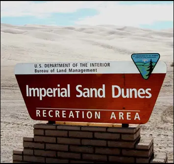
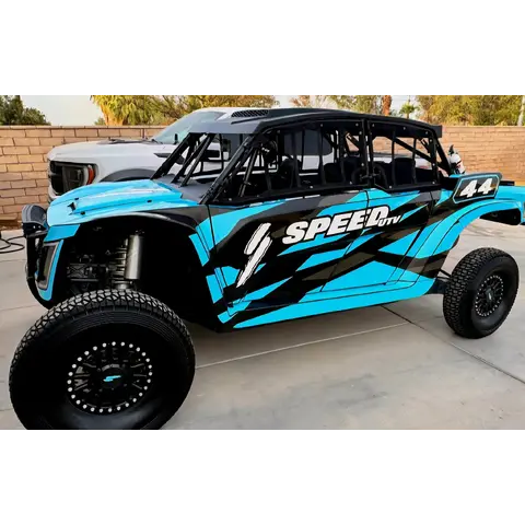
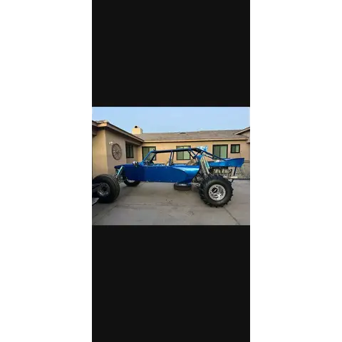
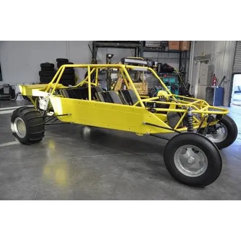
SizePart of the Algodones Dunes — roughly 40–45 miles long by 5 miles wide, with peaks up to 300 feet. The largest dune field in California.
Conditions64° · 8 mph
Trip check
Before you go
Cement Flats is closed to camping and all recreation from September 8, 2026 through February 2028. It's the temporary ranger station site. Don't plan to camp there.
Permit required — $55 in advance / $70 on site.
Coming from Arizona, the Sidewinder Chevron at Interstate 8 Exit 164 is the only fuel stop on the 8 before the Ogilby Road turnoff, as there is no fuel at Quechan Casino. Once you turn north up Ogilby there is nothing at all until Glamis, roughly 20 miles of empty desert, so fill in Yuma or at Sidewinder.
Guide
About this area
• The heart of the Algodones Dunes — officially the Imperial Sand Dunes Recreation Area • The largest mass of sand dunes in California • Dune field runs roughly 40 to 45 miles long and 5 miles wide • Peaks stand up to 300 feet above the desert floor • Sand built from ancient Lake Cahuilla • The southern and central…
Full agency description
Glamis is the heart of the Algodones Dunes, officially the Imperial Sand Dunes Recreation Area and the largest mass of sand dunes in California. The dune field runs roughly 40 to 45 miles long and 5 miles wide, with peaks standing up to 300 feet above the desert floor — sand built from ancient Lake Cahuilla. The southern and central portions are open to off-highway vehicles and this is the world-famous end of it: big bowls, long runs, and a temporary city of camps over the winter holidays. North of Highway 78 the dunes become designated Wilderness and are closed to vehicles entirely.
At a glance
Quick facts
Best season
Thanksgiving through Easter (Nov–Apr). Peak is Veterans Day, Thanksgiving week, Christmas/New Year, Presidents Day and Easter, plus the Old School Roundup and Dad & Daughter's Day weekends.
Camping limit
14 day camping limit across the Imperial Sand Dunes Recreation Area
Cahuilla Ranger Station — temporary site at Cement FlatsRanger station
BLM ranger station. Operating from a temporary site at Cement Flats for the 2026-27 and 2027-28 seasons while the Gecko Road building is replaced. Permits and walk-in emergency medical are here. Replacement station opens summer 2028.
Every ATV operator and rider must wear an approved helmet regardless of age, ROV operator and passengers too.
Permit must be displayed in the windshield, date side out, on arrival and it is non-refundable.
Show all 14 area-specific rules
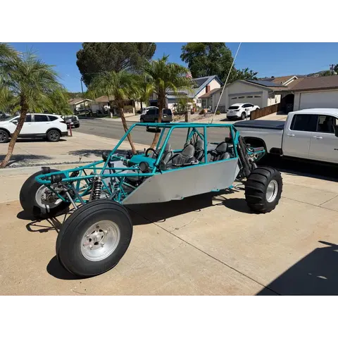
🪖 Sand car, sand rail, dune buggy, 4x4, or anything home-built or over 1,000cc: no helmet or seat-belt law applies. Wear them anyway — State Parks recommend it, and so do we.
🪖 Any helmet the law requires must meet Federal Motor Vehicle Safety Standard 218 and carry a DOT label.
Source: California Vehicle Code §500, §38505, §38601–38602, CVC 27802 — ohv.parks.ca.gov (checked Aug 2026).
15 MPH within 500 feet of Highway 78, Grays Well Road, Gecko Road, and the access roads inside Gecko and Roadrunner.
15 mph max within 50 feet of any camp.
14 day camping limit across the whole recreation area.
No saving or reserving a camping space for someone else.
No parking or camping within 10 feet of the pavement on Gecko Road.
Property left unattended more than 72 hours (24 in a day-use area) can be towed or removed.
These rules carry real penalties. Breaking BLM supplementary rules here can mean a fine of up to $1,000, up to 12 months imprisonment, or both, plus civil action. Flags, helmets and the 15 MPH zones are the ones people get cited for.
Standard OHV rules (12)
Common equipment, registration and trail-use rules still apply.
Ride to the highest safety standard, not the legal minimum. A helmet, eye protection, a flag and proper gear are what get you home.
Green sticker required year-round for registered OHVs.
No glass containers in the dunes.
Stay on designated OHV areas, closed ecological zones are enforced.
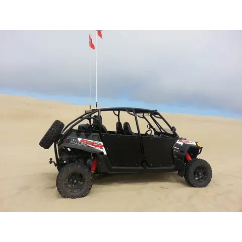
Safety flags required on all vehicles including two-wheeled motorcycles. Whip mast securely mounted, extending 8 feet from the ground, with a 6x12 inch red or orange flag within 10 inches of the tip.
Noise limit 96 dBA for machines built 1986 or later, 101 dBA for older.
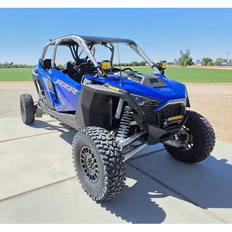
🪖 Side-by-side / UTV (factory-built, steering wheel, bucket seats, under 1,000cc, does over 30 mph): helmets on the driver and every passenger, and seat belts or a harness fastened whenever it is moving. That is California law on public land.
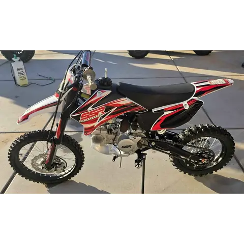
🪖 Quads and ATVs: helmet on every rider, any age. Dirt bikes: helmet required under 18.
⚠️ Tuned it past 30 mph? A machine built for 30 or under that now goes faster is treated like a side-by-side, helmet and belt rules apply.
👶 A child seat does not replace a helmet. In a side-by-side, a child in a car seat still wears one.
Check the law yourself. These requirements come from California State Parks Off-Highway Motor Vehicle Recreation, rules change, and you are responsible for compliance.
🗺️ No signal? Take an offline map. BLM publish free georeferenced PDF maps that show your live GPS position with no cell service in an offline map app or similar. Download the map for this area before you leave tarmac: www.blm.gov
Permits
Permits & registration
Weekly pass
$55 in advance / $70 on site
Season pass
$185
Permit and registration details
One permit per primary vehicle. Required immediately upon arrival during permit season.
Registration
California OHV Green sticker required year-round for registered OHVs.
State residents
California residents: OHV must display a current Green sticker or Red sticker registration from the California Department of Motor Vehicles.
Out-of-state riders
Out-of-state riders: a California Nonresident OHV Use Permit is required unless your OHV carries current registration from your home state. $30 ($31.95 online), valid from purchase through December 31 of that year.
Where to buy
Glamis Store (on Hwy 78) — weekly + season passes.
BLM Cahuilla Ranger Station — temporary site at Cement Flats, not Gecko Road — weekly + season passes.
Gas stations in Blythe & Palo Verde on Hwy 78 — weekly permits.
Motorsports store (cash only) — season passes.
Motorsports stores (5 locations) — season passes.
isdpermits.net — buy online before you go. Check current vendors and availability yourself before you travel.
Glamis Dunes StoragefuelservicesRace fuel (call to confirm brand and grade)
At Glamis, on Hwy 78 — across from the Glamis Beach Store · RV services · 🏁 Sells race fuel — the only race fuel listed at Glamis itself (Google listing, checked 8/2026). Call ahead for brand and grade.More
At Glamis, on Hwy 78 — across from the Glamis Beach Store · RV services · 🏁 Sells race fuel — the only race fuel listed at Glamis itself (Google listing, checked 8/2026). Call ahead for brand and grade.
Red Earth Casino / Torres Martinez Travel Center — ThermalfuelfoodGasolineDieselRace fuel (Sunoco, at the pump)
Highway 86 — Thermal, from the Coachella Valley · Travel center and casino, open 24/7 — gas, diesel, restaurants, and Sunoco race fuel at the pump. Call ahead to confirm the grade: (760) 395-1200. · 3089 Norm Niver Rd, Thermal, CA 92274More
Highway 86 — Thermal, from the Coachella Valley · Travel center and casino, open 24/7 — gas, diesel, restaurants, and Sunoco race fuel at the pump. Call ahead to confirm the grade: (760) 395-1200. · 3089 Norm Niver Rd, Thermal, CA 92274
Indio — start of the Highway 86 corridor, from the Coachella Valley · 🏁 VP Racing Fuels branded station — race fuel on the way in from the Coachella Valley. Rider-recommended. · 81485 Miles Ave, Indio, CA 92201More
Indio — start of the Highway 86 corridor, from the Coachella Valley · 🏁 VP Racing Fuels branded station — race fuel on the way in from the Coachella Valley. Rider-recommended. · 81485 Miles Ave, Indio, CA 92201
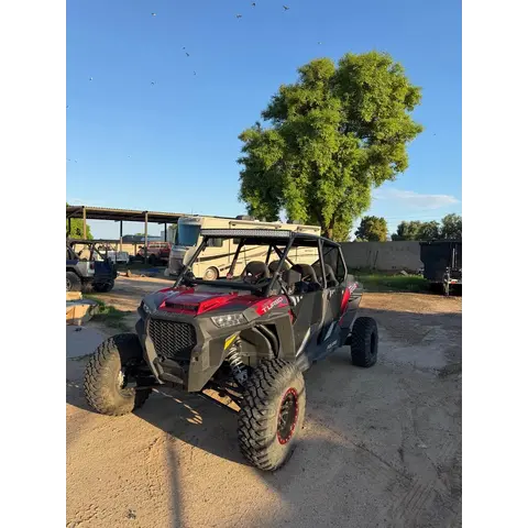
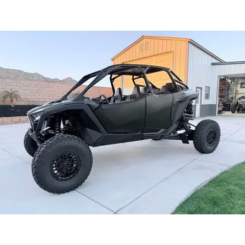
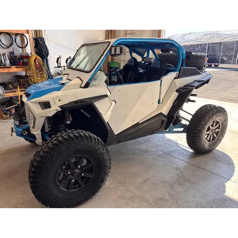
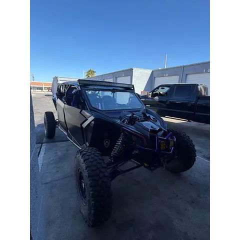
By the Glamis Beach Store on Hwy 78. Two ways in: Glamis Flats Rd, and Ben Hulse Hwy by the store. · El Cajon RV Rentals, Glamis Dunes Rentals (RZR/Can-Am/UTV), PCI Race Radios Glamis Store, Daddys Famous FoodsMore
By the Glamis Beach Store on Hwy 78. Two ways in: Glamis Flats Rd, and Ben Hulse Hwy by the store. · El Cajon RV Rentals, Glamis Dunes Rentals (RZR/Can-Am/UTV), PCI Race Radios Glamis Store, Daddys Famous Foods
Vendor Row runs along Hwy 78 right by the Glamis Store. Gilmore Off Road is the anchor — parts, UTV rentals, and on-site repairs, family-owned since 1984. During peak season the row fills with gear, food, apparel, and accessory vendors. Full Throttle Trader will have a presence here for the season.
Seasonal conditions
Low desert climate. Riding season is fall through spring — summer is dangerously hot.
Jun-Sep (OFF SEASON)105-120F daytime
Too hot to ride safely. The dunes are nearly empty.
Oct-Nov75-90F days, 50-60F nights
Season opens. Great riding weather.
Dec-Feb (PEAK)65-75F days, 35-45F nights
Peak season. Thanksgiving, Christmas, New Year, Presidents Day are the big weekends.
Mar-Apr80-95F days
Season winds down. Easter is the last big weekend.
BLM's temporary ranger station is at Cement Flats, off Highway 78 near Brawley, in service since September 8, 2026 while the new Cahuilla Ranger Station is built. The old Gecko Road building was vacated in April 2026 for demolition. The new station is due no later than spring 2028. Permits, emergency medical and law enforcement all run from Cement Flats for now. Permits are also sold by approved off-site vendors and online at isdpermits.net.
Area information is informational only and may be inaccurate or out of date. Verify access, weather, closures, permits and hazards before and during any trip. See Terms.
Your privacy
We use essential cookies to run the site and, with your consent, analytics cookies to improve it. See our Privacy Policy.