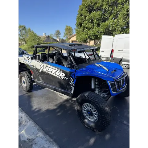
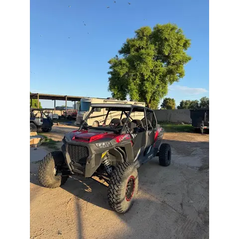
Size30,000 acres with about 75 miles of developed trails
Conditions36° · 1 mph ⚠
Trip check
Before you go
Montana season is short. Snow closes this for a good part of the year, check conditions before towing.
No permit required.
🗺️ Two agencies, one riding area. Where BLM ground meets national forest the designated-route rules can change.
Guide
About this area
A 30,000-acre travel management area about 15 miles east of Butte with roughly 75 miles of developed riding trail. Smooth, fast riding through varied terrain, and unusual in that it spans both BLM ground and the Beaverhead-Deerlodge National Forest. Free to ride.
At a glance
Quick facts
Best season
Late spring through autumn — Montana winters close this down
Managing agency
BLM Butte Field Office
Permit status
No permit required
Access
Getting there
Exit 241 (Pipestone) off I-90Entrance
Take Exit 241 (Pipestone) from I-90, about 15 miles east of Butte. The riding area is just north of the interstate.
Montana OHVs used on public land must be registered. Non-residents need a non-resident temporary use permit.
🪖 Helmet required for operators and passengers under 18.
Confirm current requirements with Montana Fish, Wildlife and Parks before you ride.
🗺️ This area spans two agencies: part BLM, part Beaverhead-Deerlodge National Forest. Carry the travel map and check which ground you are on.
Show all 7 area-specific rules
Camping is available, and there is a day-use area.
🗺️ BLM publish free georeferenced PDF maps that show your live GPS position with no cell service. Download the map for this area before you leave tarmac.
Area information is informational only and may be inaccurate or out of date. Verify access, weather, closures, permits and hazards before and during any trip. See Terms.
Your privacy
We use essential cookies to run the site and, with your consent, analytics cookies to improve it. See our Privacy Policy.