SizeAbout 50 miles of marked routes within the Special Recreation Management Area
Conditions54° · 6 mph
Trip check
Before you go
Permit required — There are no fees in Cameo Cliffs. Please just help us keep the area nice by staying on the designated, signed trails and packing out your trash and any other trash you may find along the way.
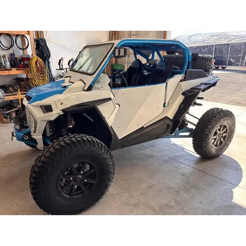
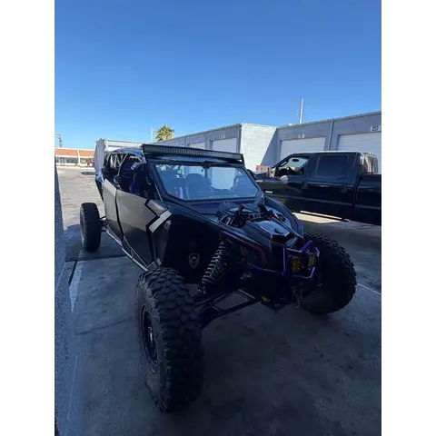
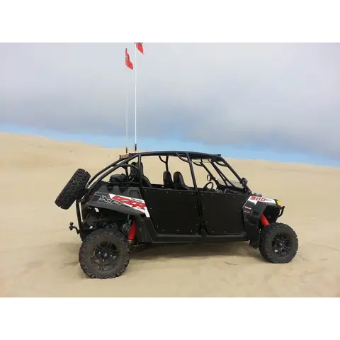
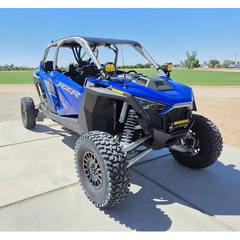
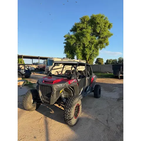
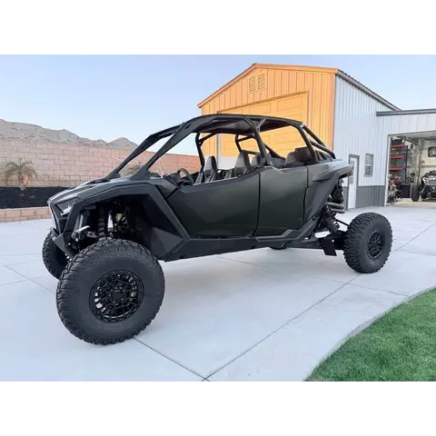
Bring the right rig as it is moderate overall, about a 4 out of 10, and fine for ATVs, UTVs and dirt bikes. A full-size 4x4 wants high clearance and 33-inch tires for the steeper rocky ledges.
Guide
About this area
The Cameo Cliffs SRMA emphasizes motorized recreation, especially ATV use, on a series of old mining routes marked for public use. The area offers approximately 50 miles of route and scenic views.
Full agency description
The Cameo Cliffs Special Recreation Management Area (SRMA) is located approximately 30 miles south of Moab, and 18 miles north of Monticello. The Cameo Cliffs SRMA emphasizes motorized recreation, especially ATV use, on a series of old mining routes that are marked for the public. A trailhead and parking area is provided just east of U.S.Highway 191 (the sign on the highway says “OHV Trailhead”) Approximately 50 miles of route are marked within the area. The ATV trail system accesses a beautifully scenic area. We invite you to explore the trails and take in the scenery. We ask all users to stay on the trails, in order to preserve the scenery for you and others to see. Please be considerate of the next visitor, and confine all motorized and mountain bike travel to designated roads and trails. The roads that are not marked for ATV use are a heritage of both ranching and minerals exploration activities. The Old Mail Trail from Monticello to LaSal is a part of one of the trail loops. As you enjoy the Cameo Cliff Special Recreation Management Area, think of the effort that early settlers went through to create these travel corridors. There are no fees in Cameo Cliffs, please just help us keep the area nice by staying on the designated, signed trails and packing out your trash and any other trash you may find along the way. Remember, responsible recreation keeps trails open. A scenic 40-to-50-mile motorised trail system on old mining and ranching routes, about 30 miles south of Moab and 18 miles north of Monticello off U.S.Highway 191. Rolling slickrock, sandy washes, winding dirt across Hook and Ladder Wash, and viewpoints overlooking Wilson Arch.
At a glance
Quick facts
Best season
April through November
Managing agency
Bureau of Land Management
Access
Getting there
Hook and Ladder / Cameo Cliffs OHV TrailheadEntrance
From MOAB take US-191 SOUTH for 30 miles, then turn LEFT onto STEENS ROAD. The trailhead and parking area is just east of US-191, marked with an OHV Trailhead sign. Coming from Monticello it is about 18 miles north.
Specific to Cameo Cliffs/Hook and OHV Ladder Trail System
Please be considerate of the next visitor and confine all motorized and mountain bike travel to designated roads and trails. Stay on the trails to preserve the scenery for you and others to see.
Stay on the marked routes and follow the brown posts. Going off them damages fragile desert soil, historical artefacts and the old ranching routes.
Free to ride with no fees.
No fees, but BLM ask only that you stay on the designated, signed trails and pack out your trash.
Show all 8 area-specific rules
Mountain bikers ride here too, and the same designated-route rule applies to them.
🪖 Utah requires a DOT safety-rated helmet for anyone under 18 on public land on an ATV, motorcycle or snowmobile. Everyone else is strongly advised to wear one.
Utah riders under 18 must reach every control, hold a valid Utah OHV education certificate, and be under direct adult supervision.
Utah requires a non-resident permit to ride public land, costing $30 and valid 12 months. Your home-state registration does not replace it, and Utah OHV registration is required for residents.
Standard OHV rules (4)
Common equipment, registration and trail-use rules still apply.
Ride to the highest safety standard, not the legal minimum. A helmet, eye protection, a flag and proper gear are what get you home.
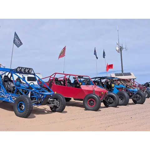
Utah requires a whip flag on sand dunes. A red or orange flag, minimum 6 x 12 inches, must be attached to your machine when riding a sand dune area.
🗺️ Take an offline map since BLM publish free georeferenced PDF maps that show your live GPS position. Download the map for this area before you leave tarmac at www.blm.gov.
There are no fees in Cameo Cliffs. Please just help us keep the area nice by staying on the designated, signed trails and packing out your trash and any other trash you may find along the way.
State residents
Utah residents need OHV registration.
Out-of-state riders
Out-of-state riders need a Utah Non-Resident OHV Permit to ride on public land. It is $35, valid 12 months from purchase, and must be bought online as the permanent permit takes up to 20 business days.
Permit and registration rules change. Confirm current requirements with the managing agency before you ride since you are responsible for compliance.
Trip support
Fuel, food & local help
Local fuel notes (5)
Nearest towns with services, per the managing agency:
Monticello — about 18 miles
Moab — about 30 miles
��️ Fill your tanks and cans before you turn off the highway.
Backcountry stations keep short hours and some close seasonally.
Pump gas & diesel
NOTHING BETWEEN MOAB AND THE TRAILHEADfuel
Fill up before you leave town · It is 30 miles of US-191 from Moab to the Steens Road turn with no services, and nothing at the trailhead itself. Monticello is 18 miles the other way.More
Fill up before you leave town · It is 30 miles of US-191 from Moab to the Steens Road turn with no services, and nothing at the trailhead itself. Monticello is 18 miles the other way.
Maverik — 1475 W Main St, Moabfuel
COMING FROM THE NORTH — last proper stop before the 30 mile run south · Open 24 hours, gas station and convenience store. Best-rated of the Moab stops and easy to get a rig through.More
COMING FROM THE NORTH — last proper stop before the 30 mile run south · Open 24 hours, gas station and convenience store. Best-rated of the Moab stops and easy to get a rig through.
COMING FROM THE WEST on I-70 — fill up here, before Crescent Junction · There is nothing at Crescent Junction where you turn south onto US-191, and nothing between there and Moab.More
COMING FROM THE WEST on I-70 — fill up here, before Crescent Junction · There is nothing at Crescent Junction where you turn south onto US-191, and nothing between there and Moab.
Fruita / Grand Junction, CO — last fuel EASTBOUND on I-70fuel
COMING FROM THE EAST on I-70 — fill up here, before Crescent Junction · Sams Club, Walmart Fuel and Maverik are all right off I-70. Nothing again until Moab.More
COMING FROM THE EAST on I-70 — fill up here, before Crescent Junction · Sams Club, Walmart Fuel and Maverik are all right off I-70. Nothing again until Moab.
Area information is informational only and may be inaccurate or out of date. Verify access, weather, closures, permits and hazards before and during any trip. See Terms.
Your privacy
We use essential cookies to run the site and, with your consent, analytics cookies to improve it. See our Privacy Policy.